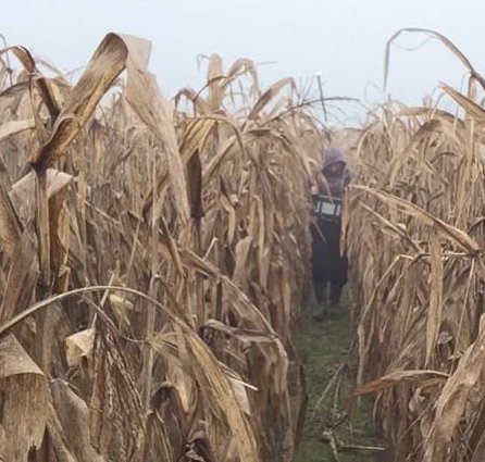
The role of geophysical methods in agriculture is becoming more and more important. We can survey agricultural sites quickly and effectively during any phase of the agricultural cycle, helping farmers to reach higher yields.
The cost-effective surveys generally include, but are not limited to, geodetic surveys, determination of soil physical properties, water table mapping or general shallow geophysical surveys of the agricultural site.
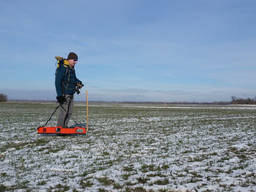
Electric tomography, gamma spectroscopy as well as the results of the ground radar, magnetic and shallow seismic exploration techniques all provide useful information for precision agricultural cultivation.
How can geophysics support agricultural production?
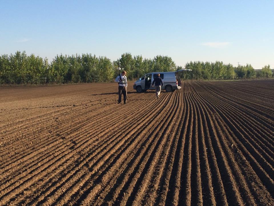
- Precise geodetic surveying, construction of 3D models
- Mapping of the bedrock
- Determination of compaction, moisture content, saturation, salinity and other physical and chemical soil parameters
- Delineation of soil contaminations
- Mapping of the level of the water table
- Setting up the conductivity profile of the soil
Agrogeophysics is a pioneering technique in precision agriculture. It has not yet reached its full potential, and it is continuously being developed (setting up agrogeophysical methods that can be done routinely, integration of tools into agricultural machines … etc.)