DIPEX database
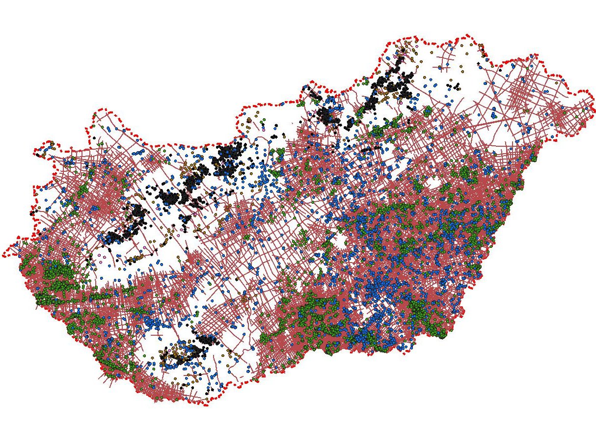
DiPex (Digitally Integrated Petroleum-geological Exploration Database of Hungary) is Geomega’s proprietary digital geological-geophysical database, which contains seismic, borehole and geophysical data of the subsurface and hydrocarbon explorations carried out in Hungary.
The database being continuously developed and extended builds upon the open-source geographic information system (GIS) of QGIS and beyond publicly available basic data of various exploration objects it contains huge amount of digitally available derived datasets, such as borehole successions, formation testing data, digital well logs, formation pressure data as well as results of core and fluid analysis laboratory data.
In addition, as the result of our reprocessing campaigns of publicly available raw seismic field data performed in recent decades, large amount of 2D and 3D seismic sections and cubes are also available, many of them processed using the latest PSTM or PSDM technologies. Our activity also includes the production of geological and geophysical maps as well as their digital files, which are all based on our own interpretation/processing and are also part of the national database.
Our data collecting, digitalization and quality controlling procedures developed and improved over the decades ensure a consistent, logical and unified appearance for the database, while the GIS background provides a quick and user-friendly data access and data export into a user-compliant format.
Purchase of data
Our services include providing access to the above datasets, even through data purchasing. The datasets meeting the areal or other selection criteria are provided in a very short lead time in a format required by the Client. Satisfaction with the purchased data often induces the acquisition or purchase of additional data, our partners often ask for further data processed in accordance with our system.
Available digital data include:
- borehole and seismic basic data (quality controlled location, depth etc.)
- geological successions
- formation test results with pressure and temperature data
- well structure data
- detailed laboratory measurement results of core and fluid samples (e.g. petrophysical, geochemical, poroperm, fluid composition)
- time-depth relations
- well logs in LAS format
- 2D and 3D seismic datasets, attribute cubes
- seismic interpretations, depth-converted and quality controlled subsurface horizon and fault maps